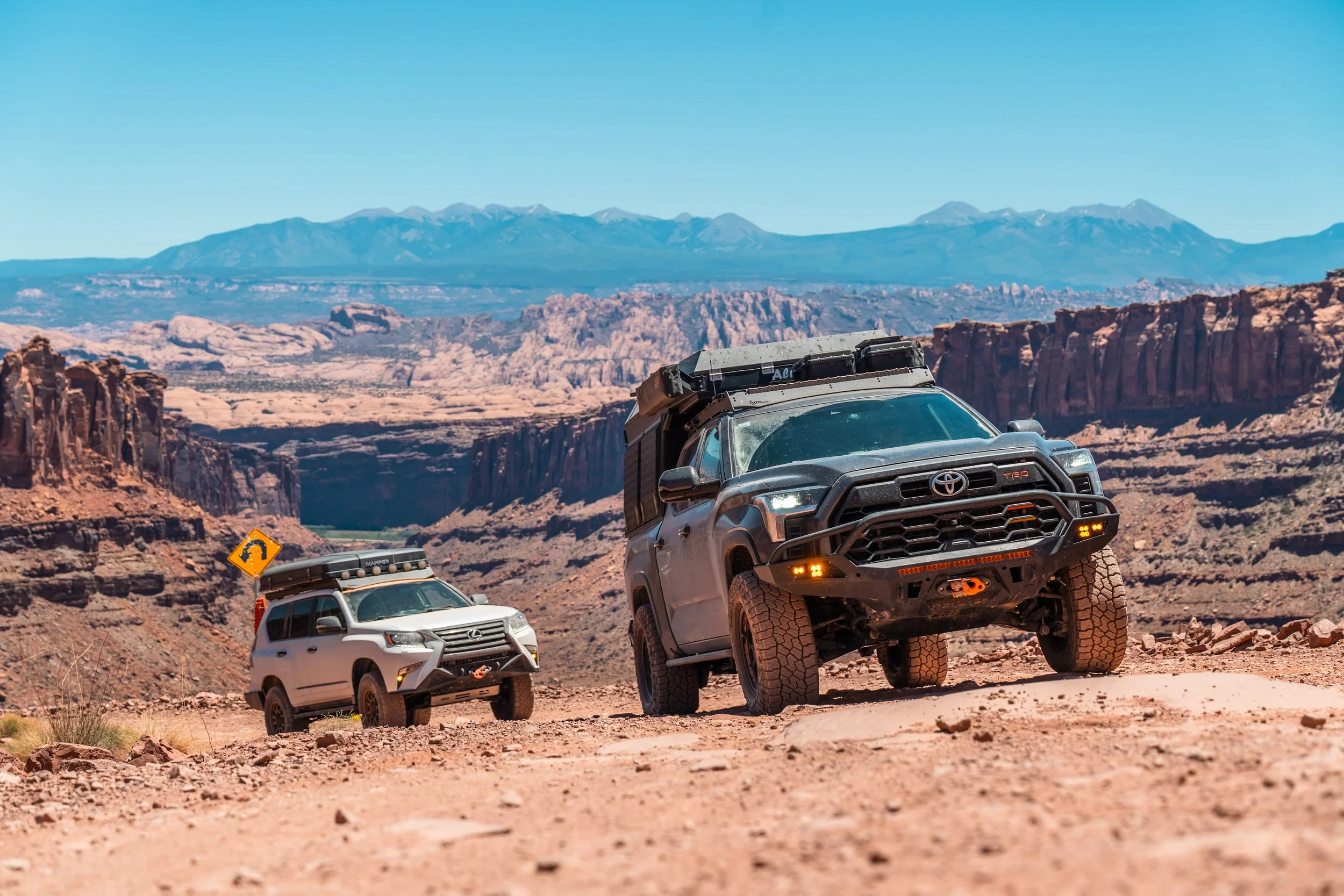

The MFer takes you almost 700 miles through the best of Utah, visiting all five of its national parks, almost entirely on unpaved roads.
Enjoyed the route and want to buy me a beer or a bourbon?
Completed the MFer? Get the badge and add it to your Adventure Passport:
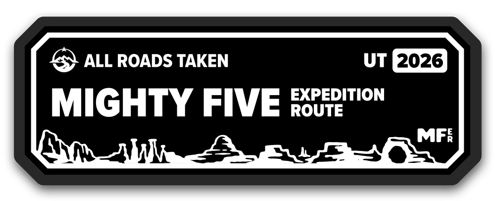
T-shirts, hats, and stickers coming soon!
RULES AND TIPS
TERMS
Taking on this route is done entirely at your own risk and everything I provide is for informational use only. You are solely responsible for verifying ground conditions, local laws, and checking land/road ownership and open dates to avoiding trespassing or traveling closed roads. While I make recommendations for vehicle equipment, you are solely responsible for having the suitable equipment and supplies for traveling this route.
IMPORTANT: Road conditions regularly change, and what looked easy on my video may be extremely difficult, especially during or after bad weather. You are responsible for checking trail conditions and making the go/no-go decision. Do not travel this route if there is a risk of getting stuck, injured, or damaging your equipment.
Revere Overland, LLC, and all employees, associates, and affiliates make no claims or warranties regarding the accuracy or completeness of the tracks and waypoints provided. By accessing or following these routes you acknowledge and agree that all of the parties listed above shall not be held liable for any accidents, injuries, legal issues, or other consequences that may arise from following the route or visiting the destinations shown. If you find a problem with the route, please let me know using this form.
Follow the TREAD LIGHTLY and LEAVE NO TRACE principles. Stay on marked roads, footpaths, and established campsites. Clean up after yourself.
DOWNLOADING
Do not duplicate, share, or upload through other websites or platforms. This route is to be shared via this website at www.revereoverland.com/MFer only.
The folders are available through OnX Off Road only. In event of route changes and road closures this allows me to update and add waypoints that are pushed to everyone immediately. If you are not a member already, you can sign up using this link and get 20% off with the code REVERE20.
TIME OF YEAR AND WEATHER
The best time of year to travel this route is during late spring or early to mid fall. Summers can get extremely hot. The route is impassable during winter and early spring. During the winter the mountains will be covered in snow that often lingers into the spring and may even remain until early summer.
Snow is possible along the entire route in the winter. Heavy rain is possible along the entire route, particularly during the summer months. Almost all of the roads are impassable when wet, so do not travel after snow or rain. Turn around if you encounter mud. Watch for flash floods, do not camp in creek beds, and turn around or evacuate if you come across flooding.
EQUIPMENT
Four wheel drive (NOT AWD) is strongly recommended for this route due to soft sand and steep climbs. Most sections require high clearance. Tires must have good traction and be able to withstand sharp rocks and rough roads.
This route goes through some of the most remote areas of Utah where emergency services and tow trucks are not available. Travel with someone experienced and bring equipment to extract vehicles that are stuck.
There is no cell service on most of the route. Bring multiple forms of emergency communication that work without cell service and don’t travel alone.
Bring suitable equipment, food, and water to deal with temperature extremes.
PERMITS
National parks require an entry fee paid at the entrance station or visitor center and a separate camping fee/permit if necessary. I recommend getting the America the Beautiful pass, since it covers all of the national parks.
State parks require an entry fee paid at the entrance station and a separate camping fee/permit if necessary. The America the Beautiful pass does not cover state parks.
Vehicles traveling in or through national parks must be street legal. You are responsible for checking the rules for all other areas.
No other permits were required for camping on BLM or NFS land during our trip.
PART ONE
TOTAL DISTANCE: 128 Miles
MAX DISTANCE BETWEEN GAS STATIONS: 57 Miles (Springdale/Zion to Duck Creek Village)
WHAT TO KNOW:
Soft and sandy southeast of Zion.
High altitude with snow into mid spring northeast of Zion.
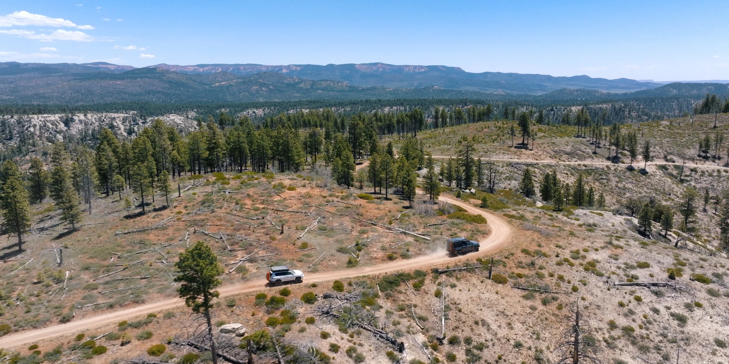
Narrow and not recommended for trailers between BLM 40/28/46 junction and Highway 89. Skip that section by taking 1850. Detour marked on the map.
Narrow and not recommended for trailers along Stout Ridge.
HARD SECTION: Part one has the optional Barracks Trail. This is a difficult trail with an extremely steep soft sandy hill and tight squeezes. The hill is particularly difficult when traveling south. Not recommended for large vehicles or trailers.
PART TWO
TOTAL DISTANCE: 119 Miles
MAX DISTANCE BETWEEN GAS STATIONS: 101 Miles (Duck Creek Village to Bryce Canyon City)
WHAT TO KNOW:
Signs at Deer Springs Ranch indicate signing at the HQ is required to pass through the property and that travel is not permitted when roads are wet. HQ is pinned on the map.
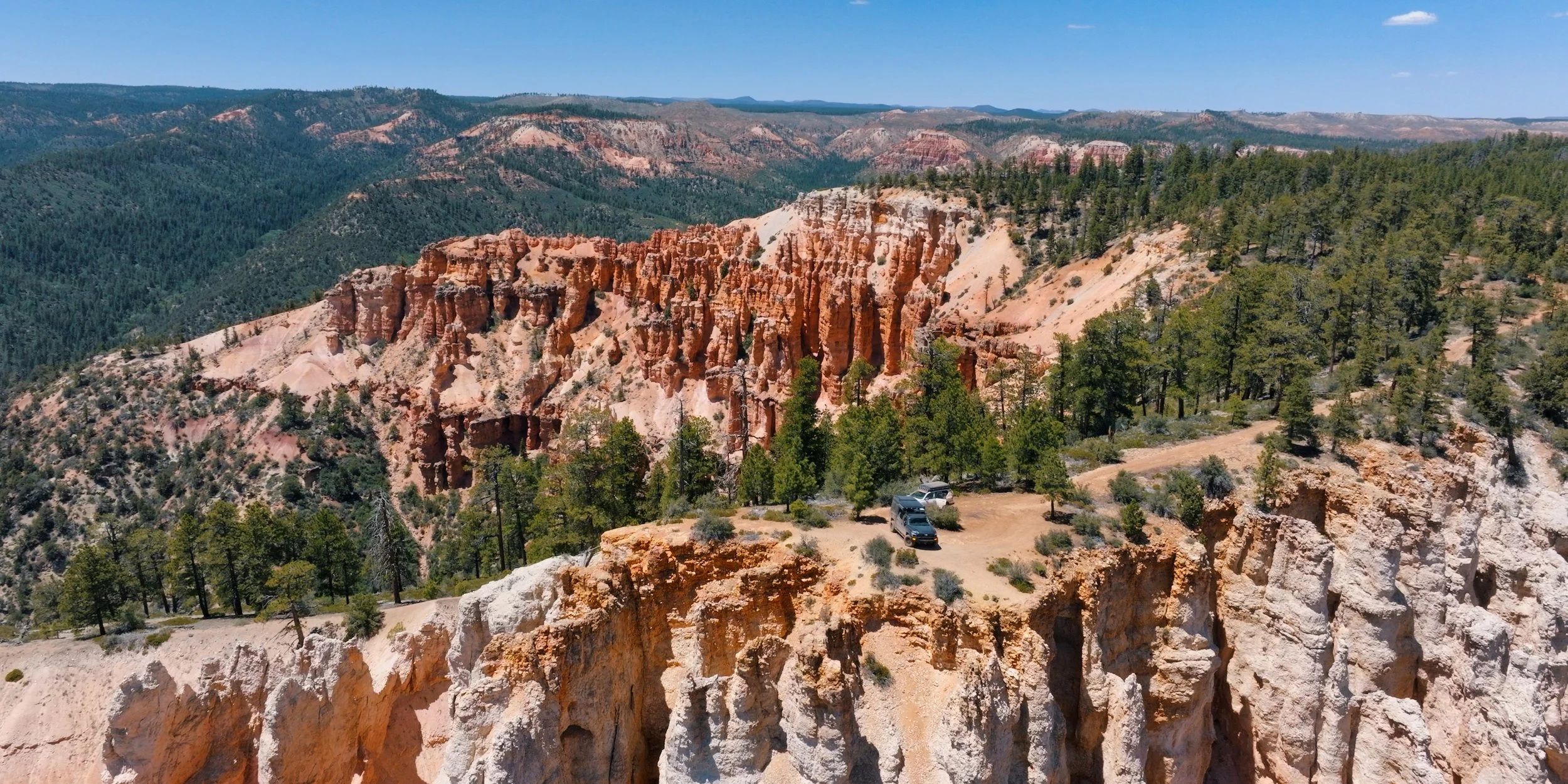
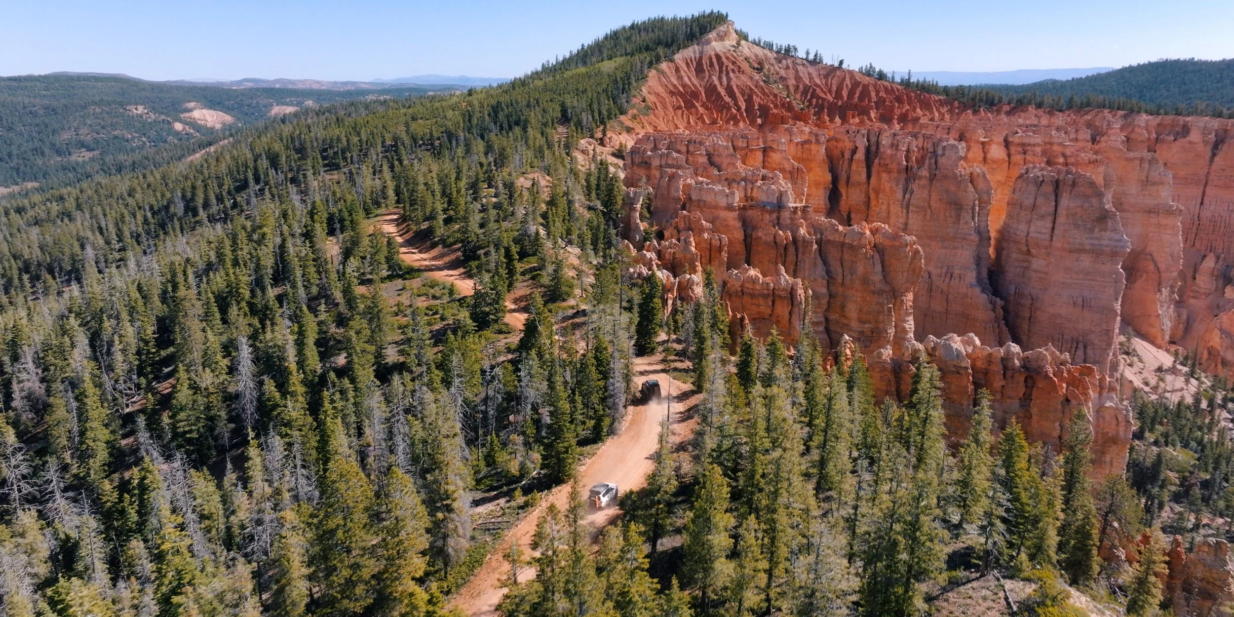
The road out to the pink cliffs campsite is narrow in parts and may not be suitable for trailers. The other viewpoint pictured on the right is easily accessible.
PART THREE
TOTAL DISTANCE: 134 Miles
MAX DISTANCE BETWEEN GAS STATIONS: 88 Miles (Boulder to Torrey)
WHAT TO KNOW:
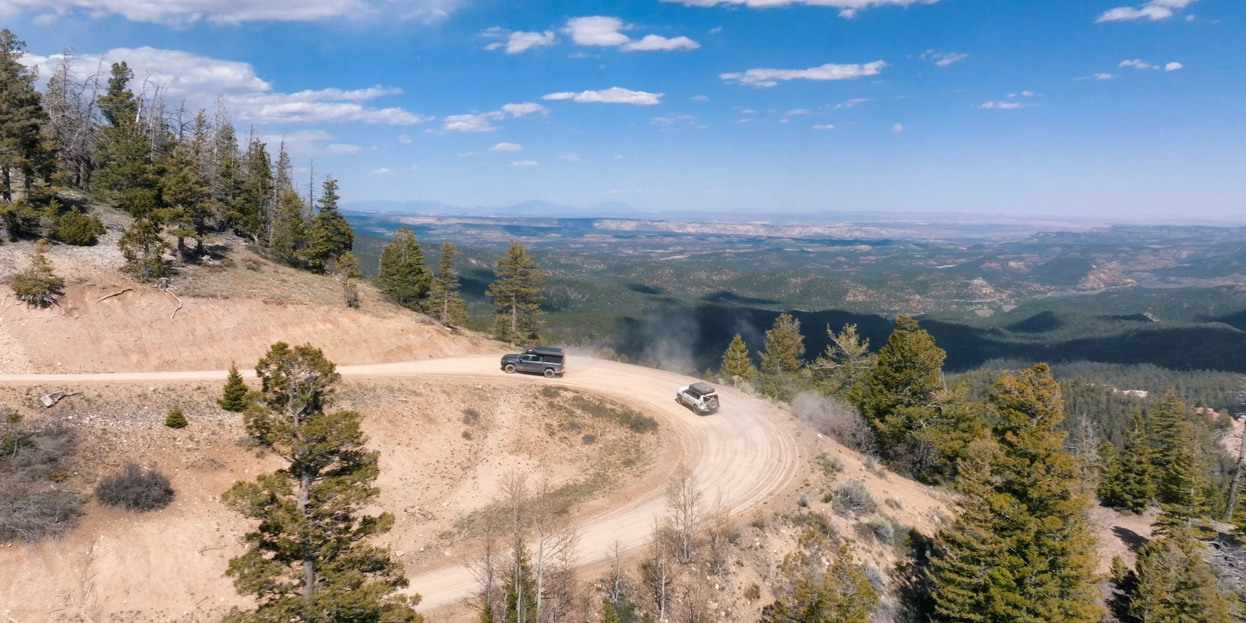
Hells Backbone Road, the Aquarius Plateau, and Paunsaugunt Plateau have roads around and over 10k feet, so are impassable late fall through late spring.
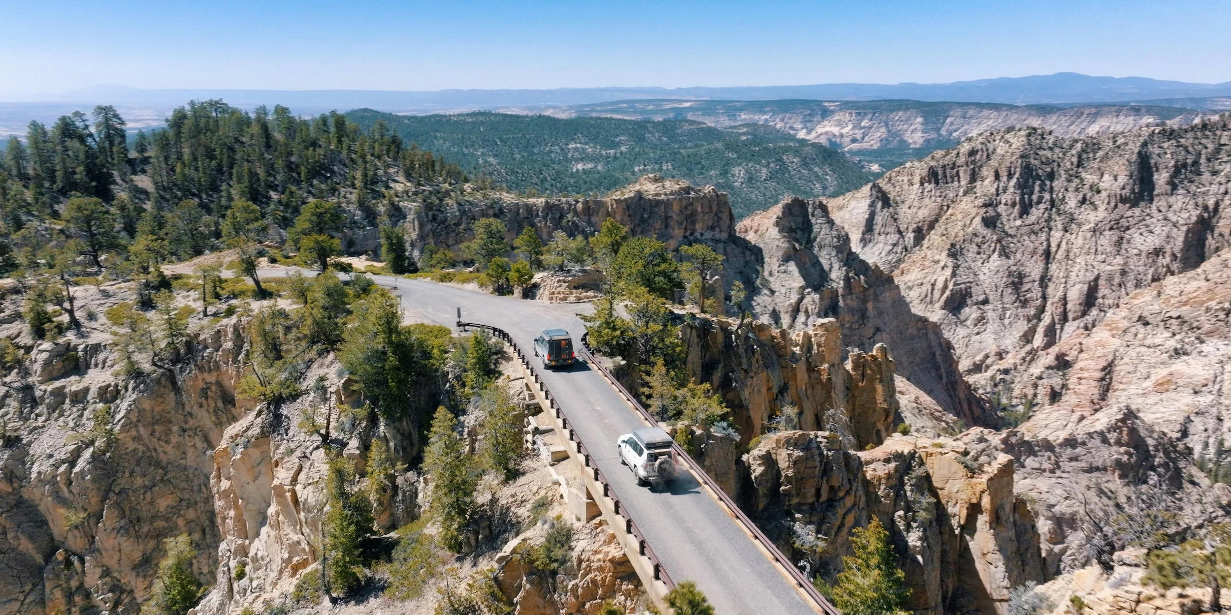
The Burr Trail is paved between Boulder and Capitol Reef National Park, and this makes up the longest section of paved road on the route.
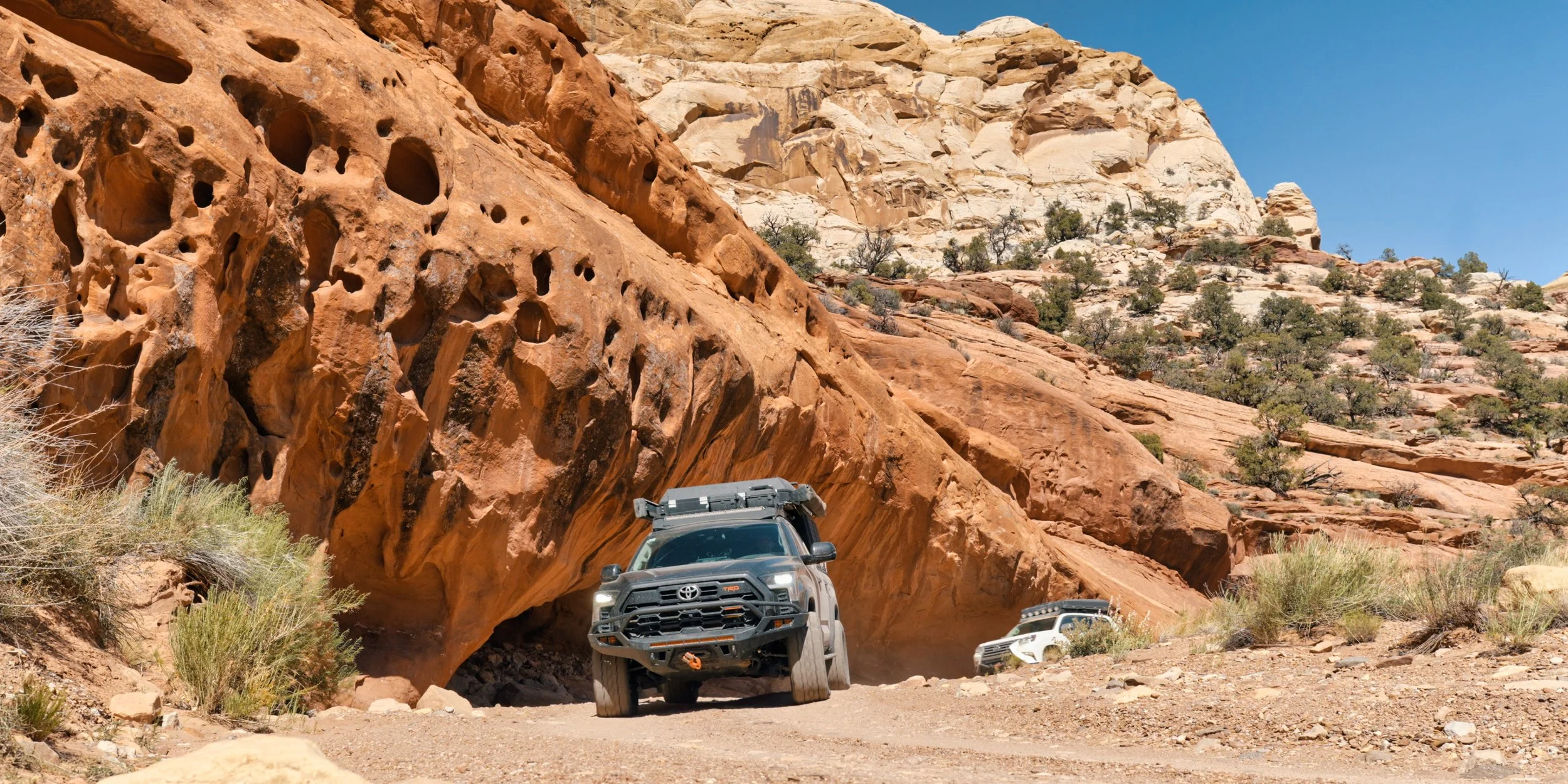
Muley Canyon to the Strike Valley Overlook requires high clearance. Trailers are not recommended due to limited turning space at the end.
Enjoyed the route and want to buy me a beer or a bourbon?